Mesoscale Convective Systems tracking Method Intercomparison (MCSMIP)
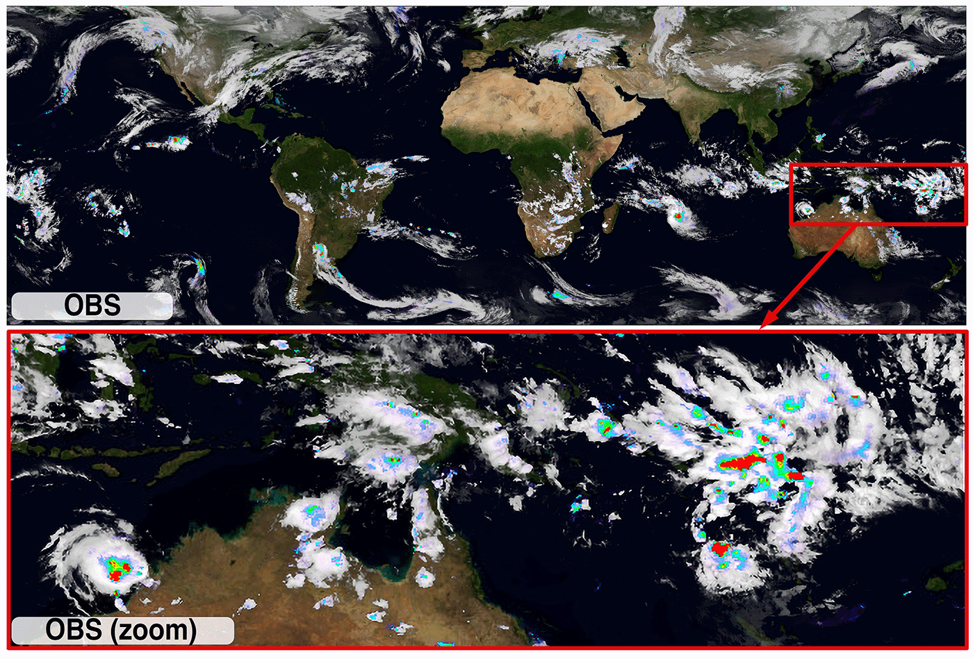
Mesoscale convective systems (MCSs) are large complexes of convective storms that span at least 100 km horizontally and can persist for several hours or even more than a day. Decades of research, field studies, and advancements in remote sensing, modeling, and theoretical understanding have deepened our knowledge of their structure, evolution, and impact on weather and climate. MCSs contribute more than half of the total rainfall in tropical regions and many midlatitude areas. They are also associated with various hazardous weather events, including extreme precipitation, flooding, damaging winds, large hail, and even tornadoes.
What is the goal of MCSMIP?
The Mesoscale Convective Systems tracking Method Intercomparison (MCSMIP) is a collaborative international initiative that unites researchers from universities, laboratories, and agencies worldwide. Our mission is to advance our understanding of mesoscale convective systems (MCSs) and their impact on global weather and climate, with a particular focus on how different tracking methods influence these conclusions. This is achieved through the use of advanced satellite observations and high-resolution model simulations.
To accomplish this, we quantify the sensitivities and uncertainties associated with various tracking algorithms. By systematically examining different tracking methods and criteria, the project seeks to better understand how these approaches shape key MCS characteristics, including their lifetime, frequency, size, and precipitation.
Committee Members
- Zhe Feng, Co-chair (zhe.feng@pnnl.gov)
- Ruby Leung, Co-chair (ruby.leung@pnnl.gov)
- Andreas Prein, Co-chair (andreas.prein@usys.ethz.ch)
- Julia Kukulies, Committee member (kukulies@ucar.edu)
- Kelly Núñez Ocasio, Committee member (knunez.ocasio@tamu.edu)
- Zachary Moon, Committee member (zachary.moon@ertcorp.com)
- Fengfei Song, Committee member (songfengfei@ouc.edu.cn)
- Jinyan Song, Committee member (songjinyan@stu.ouc.edu.cn)
- Wenhao Dong, Committee member (wenhao.dong@noaa.gov)
- Manikandan Rajagopal, Committee member (mani.rajagopal@utah.edu)
- John Mejia, Committee member (John.Mejia@dri.edu)